Winning 'Most Work Accomplished' at the Civic Hackathon
Reflecting on a high-impact weekend extracting spatial insights from OpenStreetMap and building a custom analytics platform for St. Louis.
At the recent civic hackathon hosted by Arch Data Network in partnership with TechSTL, CIVIC CITY, and the City of St. Louis, our team had a great time collaborating at the Microsoft Innovation Hub. We were fortunate to be recognized with the "Most Work Accomplished" award for our project, Show Me the Metrics.
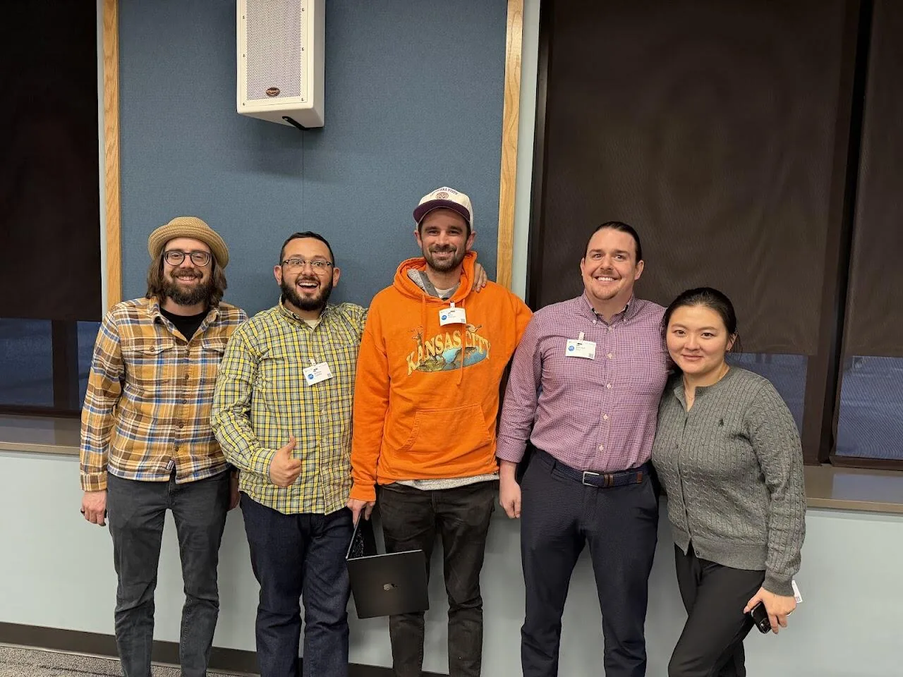
The "Show Me the Metrics" team celebrating our win for building a platform that empowers users with analyst super-powers.
Spatial Data & LLMs
My focus was on working with OpenStreetMap to extract usable spatial layers for analytics. We treated those zones as reusable polygons and kept them aligned with a simple data table, ensuring the spatial geometry and underlying data stay joined and usable in downstream reporting.
LLMs proved remarkably effective at translating natural language into targeted Overpass API queries, allowing us to quickly define and extract relevant geographical areas.
Technical Innovation
- Natural Language Processing: Translating user intent into precise spatial queries via LLMs.
- Geometry Management: Creating reusable polygons for consistent spatial reporting.
- Unstructured Data: Extracting meaningful metrics from complex, unstructured PDF documents.
Solving the "Custom Shape" Problem
After years of enterprise BI experience, I've seen how manual and time-consuming creating custom shapes for tools like Power BI and Tableau can be. After the event, I spent time cleaning up and extending this workflow to make it simpler and more repeatable.
The result is a more polished sample, designed to empower every-day humans with analyst super-powers by simplifying the bridge between complex spatial data and actionable reporting.